Loading an Image File as a Layer in ArcMap
____ 3. Launch ArcMap using a blank map. Dismiss ArcCatalog.9 From
[___]IGIS-Arc\Image_Data
add the image file Foozit_Court.TIF as a layer in ArcMap. If the Unknown Spatial Reference message appears, ignore it. If asked do not build “pyramids.” An image of the court should appear. See Figure 5-2. No reference numbers are provided, because, unlike when you typed in the values, the node positions and line lengths will be determined by where you click when you trace the image with the cursor.
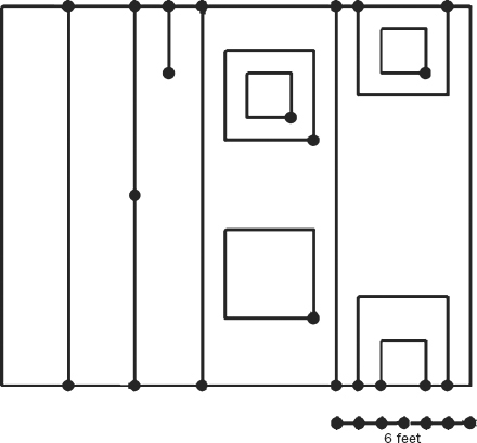
____ 4. Make the ArcMap window occupy the full screen. Zoom in so the line drawing occupies the full map display area. Slide the cursor over the map area and notice that the coordinates are (probably) in Decimal Degrees. This is because, if the coordinate numbers are small, ArcMap assumes a geographic “projection.” Obviously, you want to fix this: With the Select Elements pointer, right-click the map, pick Data Frame Properties > General, and change the map and display units to Feet. OK. Use Measure, with its units set to Feet, to determine the dimensions of the court to two decimal places. The result: _________ by _________. Dismiss Measure.
____ 5. Click the pointer (Select Elements) icon. Slide the cursor around the image, noticing the coordinates. Zoom in on the southwest corner. By placing the + part of the cursor on the corner, ...
Get Introducing Geographic Information Systems with ArcGIS: A Workbook Approach to Learning GIS, 3rd Edition now with the O’Reilly learning platform.
O’Reilly members experience books, live events, courses curated by job role, and more from O’Reilly and nearly 200 top publishers.

