Analyzing hydrology
A common analysis from a DEM is to compute hydrological elements, such as the channel network or the set of watersheds. This recipe shows you the steps to do these analysis.
Getting ready
Open the DEM that we prepared in the Preparing elevation data recipe.
How to do it…
- In the Processing Toolbox option, find the Fill Sinks algorithm and double-click on it to open it:
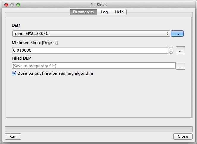
- Select the DEM in the DEM field and run the algorithm. This will generate a new filtered DEM layer. From now on, we will just use this DEM in the recipe and not the original one.
- Open Catchment Area and select the filtered DEM in the Elevation field:
- Run the algorithm. ...
Get QGIS: Becoming a GIS Power User now with the O’Reilly learning platform.
O’Reilly members experience books, live events, courses curated by job role, and more from O’Reilly and nearly 200 top publishers.

