Calculating a hillshade layer
A hillshade layer is commonly used to enhance the appearance of a map and display topography in an intuitive way, by simulating a light source and the shadows it casts. This can be computed from a DEM by using this recipe.
Getting ready
Open the DEM that we prepared in the Preparing elevation data recipe.
How to do it…
- In the Processing Toolbox option, find the Hillshade algorithm and double-click on it to open it:
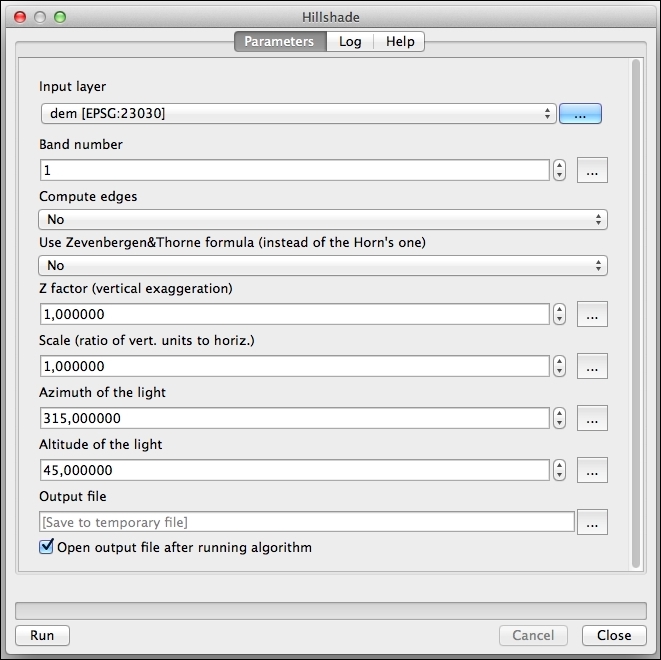
- Select the DEM in the Input layer field. Leave the rest of the parameters with their default values.
- Click on Run to run the algorithm.
The hillshade layer will be added to the QGIS project, as follows:
How it works… ...
Get QGIS: Becoming a GIS Power User now with the O’Reilly learning platform.
O’Reilly members experience books, live events, courses curated by job role, and more from O’Reilly and nearly 200 top publishers.

