Using the raster calculator
The raster calculator is one of the most flexible and versatile tools in QGIS. This allows you to perform algebraic operations based on raster layers, and compute new layers. This recipe shows you how to use it.
Getting ready
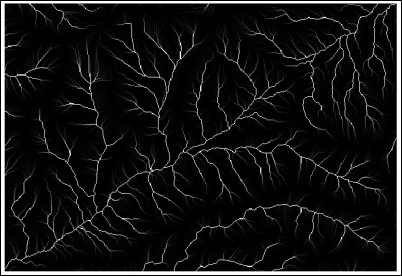
Open the catchment_area.tif file. The file should look like the following screenshot:
How to do it…
- Open the Processing Toolbox option and find the algorithm called Raster calculator by searching for it using the search box. Double-click on the algorithm item to execute it, as shown in the following screenshot:
- Click on the button in the Input layers field to open the layer selector. There is only one ...
Get QGIS: Becoming a GIS Power User now with the O’Reilly learning platform.
O’Reilly members experience books, live events, courses curated by job role, and more from O’Reilly and nearly 200 top publishers.

