Using DISTAL
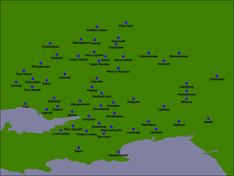
To run the DISTAL system, simply start up the webserver.py script you wrote earlier, and use your web browser to go to the following URL: http://127.0.0.1:8000/cgi-bin/selectCountry.py. Select the country you are interested in, and then click on the OK button. Then, enter a search radius and click on a point within the map of that country. All going well, you should see a detailed map of the area you clicked on, with its various place names displayed on the map. The following image shows what the results should look like:
There's a lot more we could do with our program, and if you dig deep enough, you'll start to notice a few problems ...
Get Python Geospatial Development - Third Edition now with the O’Reilly learning platform.
O’Reilly members experience books, live events, courses curated by job role, and more from O’Reilly and nearly 200 top publishers.

