Recommended best practices
In this section, we will look at a number of practical things you can do to ensure that your geospatial databases work as efficiently and effectively as possible.
Best practice: use the database to keep track of spatial references
As we've seen in earlier chapters, different sets of geospatial data use different coordinate systems, datums, and projections. Consider, for example, the following two geometry objects:
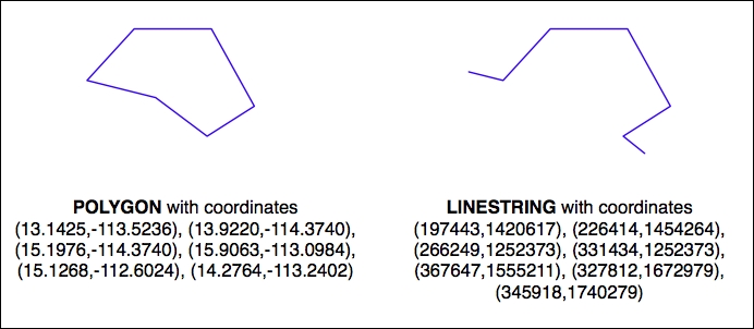
The geometries are represented as a series of coordinates, which are nothing more than numbers. By themselves, these numbers aren't particularly useful—you need to position these coordinates onto the earth's surface ...
Get Python Geospatial Development - Third Edition now with the O’Reilly learning platform.
O’Reilly members experience books, live events, courses curated by job role, and more from O’Reilly and nearly 200 top publishers.

