Converting and standardizing units of geometry and distance
Imagine that you have two points on the earth's surface, with a straight line drawn between them:
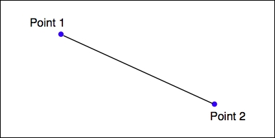
Each of these points can be described as a coordinate using some arbitrary coordinate system (for example, using latitude and longitude values), while the length of the straight line could be considered to be the distance between the two points.
Note
Of course, because the earth's surface is not flat, we aren't really dealing with straight lines at all. Rather, we are calculating geodetic or great-circle distances across the surface of the earth.
Given any two coordinates, it is possible to calculate ...
Get Python Geospatial Development - Third Edition now with the O’Reilly learning platform.
O’Reilly members experience books, live events, courses curated by job role, and more from O’Reilly and nearly 200 top publishers.

