Geospatial development
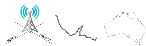
The term geospatial refers to finding information that is located on the earth's surface. This can include, for example, the position of a cellphone tower, the shape of a road, or the outline of a country:
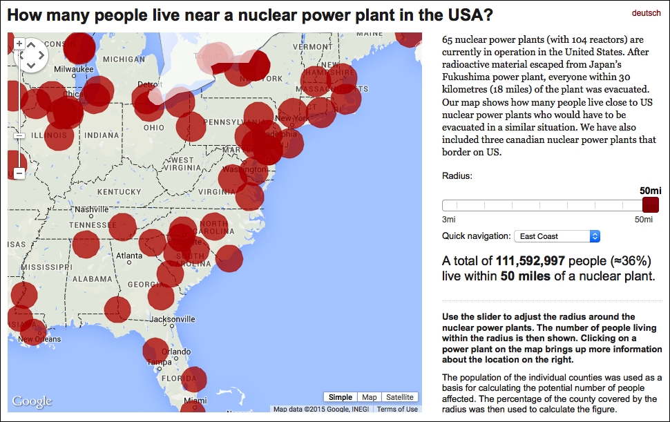
Geospatial data often associates some piece of information with a particular location. For example, the following map, taken from http://opendata.zeit.de/nuclear-reactors-usa, shows how many people live within 50 miles of a nuclear reactor within the eastern United States:
Geospatial development is the process of writing computer ...
Get Python Geospatial Development - Third Edition now with the O’Reilly learning platform.
O’Reilly members experience books, live events, courses curated by job role, and more from O’Reilly and nearly 200 top publishers.

