Generating slope and aspect images from your DEM
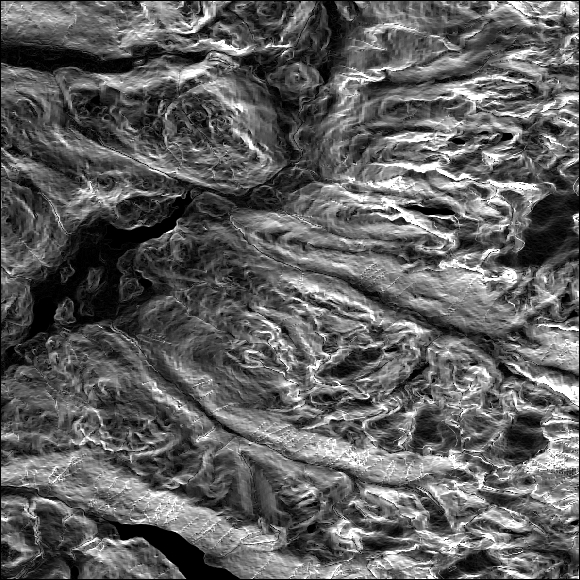
Slope maps are very useful, for example, to help biologists identify habitat zones. Certain species only live in areas that are very steep—mountain goats, for instance. The slope raster can then quick identify potential habitat areas. To visualize this, we use QGIS to display our slope map, which will look similar to the following image. The area in white indicates the steeper area and the darker the color, the flatter the terrain:
Our aspect map displays the direction that the surface faces towards—such as north, east, south, and west—and this is expressed in degrees. In the screenshot, the orange ...
Get Python Geospatial Analysis Cookbook now with the O’Reilly learning platform.
O’Reilly members experience books, live events, courses curated by job role, and more from O’Reilly and nearly 200 top publishers.

