Union polygons without merging
To demonstrate what merging is all about, we will take an example from the National Oceanic and Atmospheric Administration (NOAA) weather data. It provides an awesome minute-by-minute update of Shapefiles for your desire to download data. We will look at a one-week collection of weather warnings, and combine these with state boundaries to see where exactly warnings occurred within a state boundary.
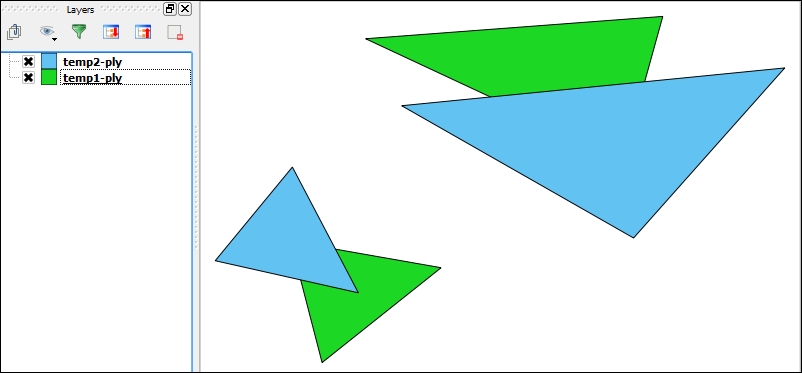
The preceding screenshot shows us the polygons before the union operation in QGIS.
Getting ready
Make sure your virtual environment is, as always, fired up and run the following command:
$ source venvs/pygeo_analysis_cookbook/bin/activate ...Get Python Geospatial Analysis Cookbook now with the O’Reilly learning platform.
O’Reilly members experience books, live events, courses curated by job role, and more from O’Reilly and nearly 200 top publishers.

