Now, we copy data from the point cloud into our table. Refer to the Importing LiDAR data recipe in this chapter to verify the pointcloud extension object representation:
$ pdal pipeline uas_points.json
This data, as viewed in MeshLab (http://www.meshlab.net/) from the .ply file, is pretty interesting:
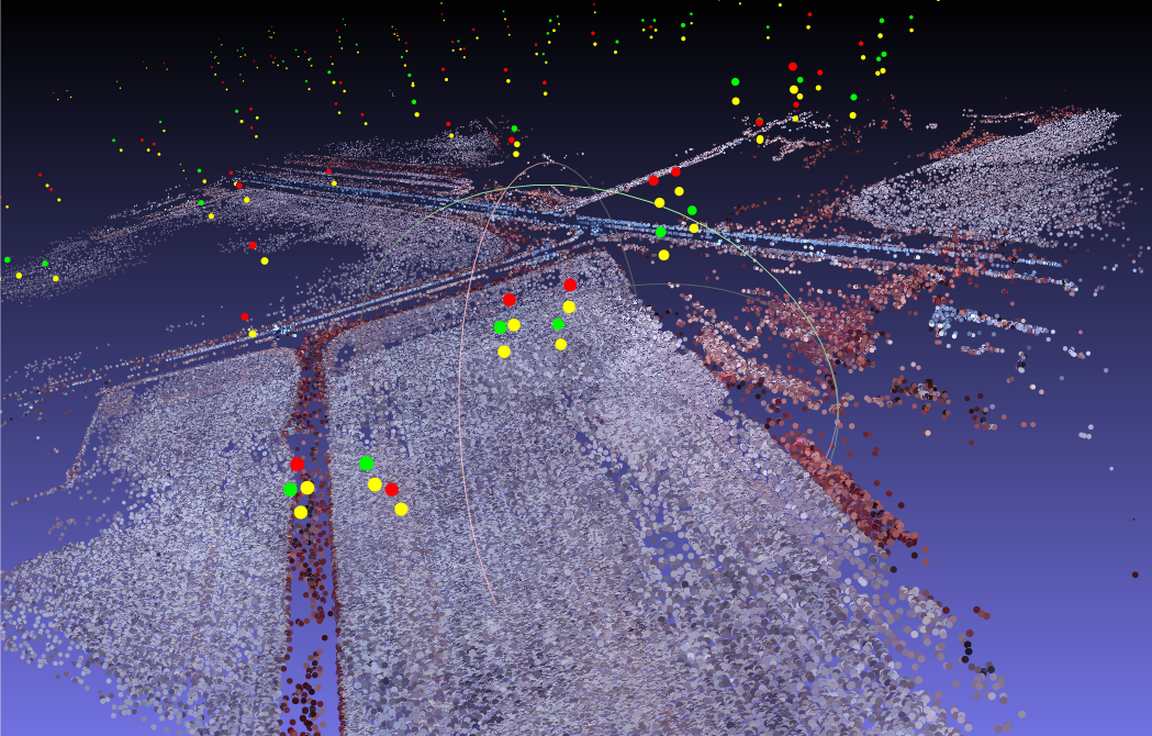
The original data is color infrared imagery, so vegetation shows up red, and farm fields and roads as gray. Note the bright colors in the sky; those are camera position points that we'll need to filter out.
The next step is to generate orthographic imagery from this data.

