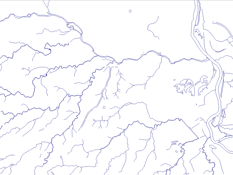
The data we will be using is hydrology data that has been modified from engineering blue lines (see the following screenshot), that is, hydrologic data that is very detailed and is meant to be used at scales approaching 1:600. The data in its original application aided, as breaklines, in detailed digital terrain modeling.
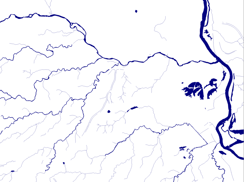
While useful in itself, the data was further manipulated, separating the linear features from area features, with additional polygonization of the area features, as shown in the following screenshot:
Finally, ...

