The simplest way to convert point data to polygon data would be to buffer the points by their known separation:
ST_Buffer(the_geom, 5)
We can imagine, however, that such a simplistic approach might look strange:
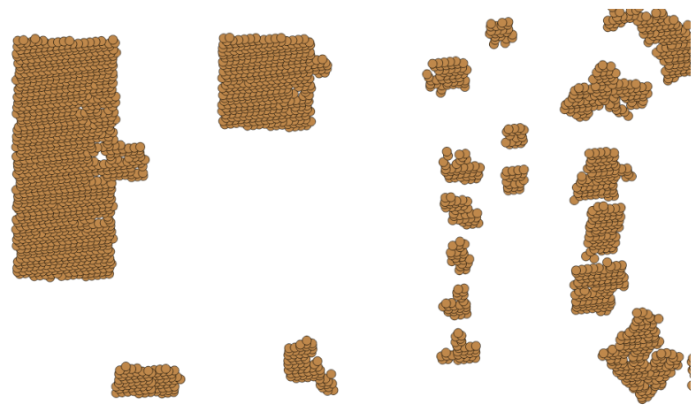
As such, it would be good to perform a union of these geometries in order to dissolve the internal boundaries:
ST_Union(ST_Buffer(the_geom, 5))
Now, we can see the start of some simple building footprints:
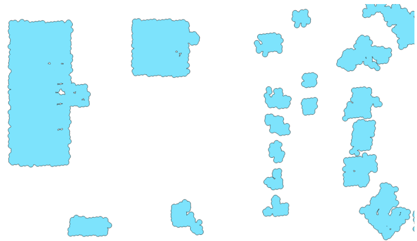
While this is marginally better, the result is quite lumpy. We will use the ST_Simplify_PreserveTopology function ...

