Geovisualization
One of the other common application of social media is geo-based visualization. In the tweet structure, we saw attributes named geo, longitude, and latitude. Once you have access to these values, it is very easy to use some of the common visualization libraries, such as D3, to come up with something like this:
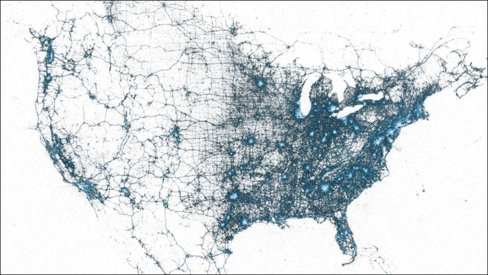
This is just an example of what we can achieve with these kind of visualizations; this was the visualization of a tweet in the U.S. We can clearly see the areas of increased intensity in eastern places such as New York. Now, a similar analysis done by a company on the customers can give a clear insight about which are some ...
Get Natural Language Processing: Python and NLTK now with the O’Reilly learning platform.
O’Reilly members experience books, live events, courses curated by job role, and more from O’Reilly and nearly 200 top publishers.

