MapD Core supports geometry and geography data types and can also generate interactive maps using coordinate columns to display data with x/y or longitude and latitude pairs. Point maps, heat maps, and choropleth maps can easily be generated and styled using the Immerse dashboard environment:
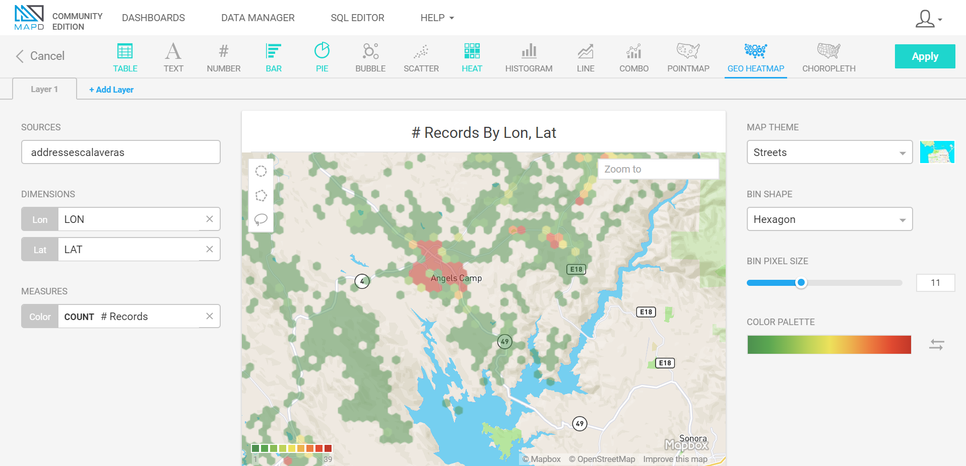
This data visualization was created by loading the Calaveras County address CSV from OpenAddresses into my MapD Immerse instance using the DATA MANAGER and then using the LON and LAT columns to create a heat map.

