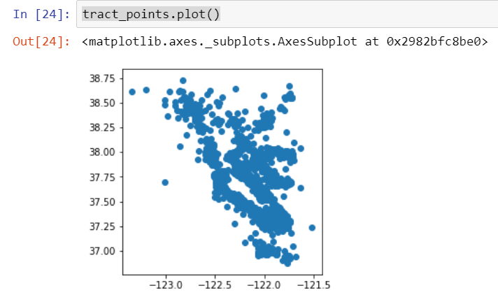
The Bay Area census tracts GeoJSON file has population data with polygon geometry. To create the first visualization we need to convert the geometry type to point:
tracts = gpd.read_file(r'tracts_bayarea.geojson')tracts['centroids'] = tracts.centroidtract_points = tractstract_points = tract_points.set_geometry('centroids')tract_points.plot()
The output of the previous code is as follows: