Click the New Style button and select the Satellite Streets theme:

A quick tutorial explains the customization options. A variety of available layers have been added, and both their labeling and styling can be adjusted by clicking on the layers in the table of contents. New layers can be added as well, including account tilesets:
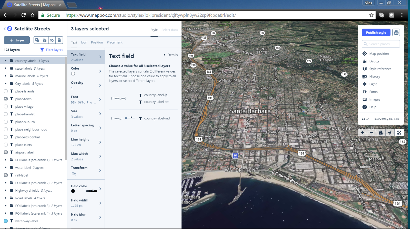
Map zoom levels, bearing, pitch, and initial coordinates can be adjusted. Using the Map position menu, these map parameters can be changed and locked as the default position using the Lock button ...

