Creating a Taxi app using the Google Maps plugin and geocode support
Today, many mobile apps utilize different mapping features, such as showing the current location, creating routes, and providing suggestive business searches. This section will show you how to use Ionic Native's Google Maps plugin to provide mapping support.
You will create a Taxi app that can do the following things:
- Display Google Maps in fullscreen
- Add a button overlay on top of the map
- Detect the current device location
- Add a marker with any text
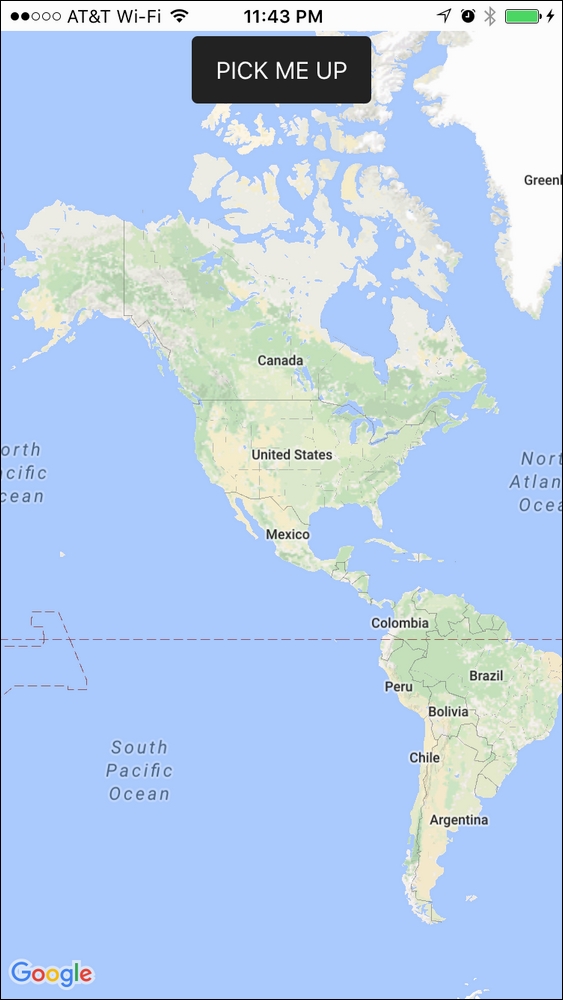
This is the screenshot of the Taxi app:
When users click on the PICK ME UP button, it will go to the current device location and show longitude ...
Get Ionic 2 Cookbook - Second Edition now with the O’Reilly learning platform.
O’Reilly members experience books, live events, courses curated by job role, and more from O’Reilly and nearly 200 top publishers.

