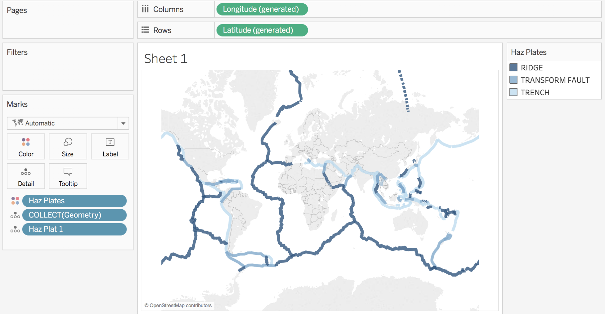
Tableau offers the possibility to connect to Spatial files to display custom maps. You can use this feature to create maps with your specific territories or to add new interesting layers of information. The following types of file are accepted:

When you connect to a Spatial file, a special field, Geometry, is available. You just have to double-click on that field to display your custom territories. Here's an example of what you can do with Spatial files, displaying the borders of the tectonic plates:
Don't hesitate to use this ...

