Using WFS nonspatial filters
In the previous recipe, we just specified a layer to get features from. The OpenLayers strategy, BBOX, created a spatial filter to get only features intersecting the map extent. For common use, you may want to create filters yourself in order to extract specific sets of features from GeoServer.
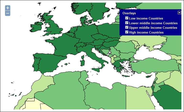
In this recipe, we will build a map with four layers, each one containing countries according to their mean income. The data source for each layer is the countries' feature type, and we will apply different filters on them.
The resulting map looks like this:
Tip
You can find the full source code for this recipe in the ch01_wfsFilter.html ...
Get GeoServer Cookbook now with the O’Reilly learning platform.
O’Reilly members experience books, live events, courses curated by job role, and more from O’Reilly and nearly 200 top publishers.

