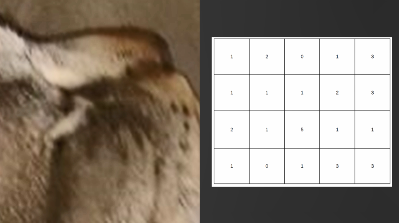
In the previous section, you learned how to optimize vector data storage. In this section, you'll learn how to do so for raster data. First, we'll cover a few concepts regarding the processing of raster data. We'll learn about some ways of preparing data using the command-line utility GDAL. Finally, we'll take a quick look at the WCS OGC service offered by GeoServer. Imagery and analysis grids are examples of raster data. Raster processing is a set of operations that are used to make grid data more useful. The following diagram contains a high-resolution photograph of a cat on the left-hand side:
We have to zoom ...

